The area of convection in the Central Atlantic (bright white clouds on the right) we are monitoring continues to show signs of strengthening and better organization. This has a pretty good chance of becoming a Tropical Depression in the next couple of days, then earning the name "Alex" if it reaches Tropical Storm strength (39 mph sustained winds). The system is currently tracking West-Northwest at 15 mph about 1400 miles East-Southeast of the Windward Islands. Here is the latest composite tracking for this system:

And the latest intensity forecast:

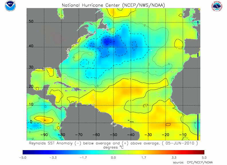
Weak shear and warm sea surface temperatures should allow this system to organize and strengthen over the next 24-48 hours.
There is another wave just coming off of Africa behind it, and we will be watching that one over the coming days as well.