

This will increase instability in the atmosphere, which is measured by CAPE.
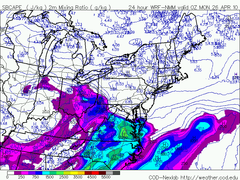
A strong jet max (area of strong winds) will move in during tomorrow afternoon and provide "lift" in the atmosphere. It will also bring in speed shear (winds increasing with height). This means that some isolated thunderstorms could develop rotating updrafts.

Tonight's batch of rain will exit the region early tomorrow morning. Widely scattered thunderstorms will then develop in the early afternoon and last into the evening. Some of these storms could quickly become severe with damaging winds and large hail. In addition, a brief tornado could also develop, however, I'm not expecting anything like what they saw in Mississippi today.
We will be tracking this through the day tomorrow and will bring you the very latest!